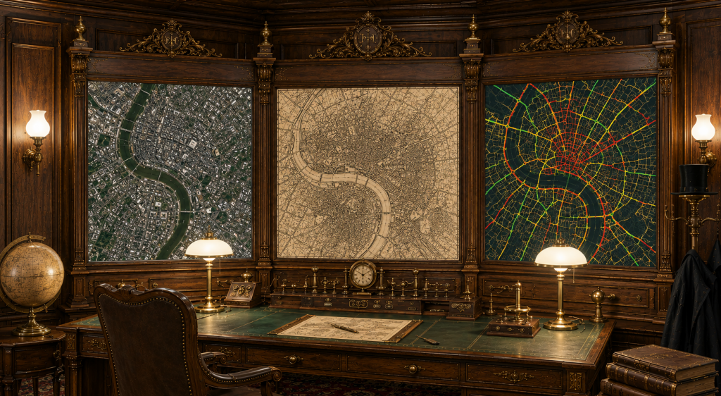
Geospatial Data Science
Most of the 15 years I have spent in the geospatial domain has revolved around Geospatial Data Science. I have extensive knowledge in large-scale (TB size) geodata processing (e.g., for aerial/satellite imagery and historical maps), have developed a wide variety of GeoAI models for feature extraction (e.g., buildings, rivers and roads), the generation of Cartographic features (e.g., relief shading and rock depictions) and even for automatic flood control in the case of natural disasters. I frequently deal with a variety of data formats, including Shapefiles, Geopackages and GeoJSON as well as GeoTIFF, NetCDF and HDF. My tools of choice are mostly Python based and include OGR/GDAL, Fiona/Shapely/Rasterio, (Geo)Pandas, PyTorch, Tensorflow/Keras.
Geospatial Software Development
I concentrate on the development of innovative software tools that solve real-world problems. This includes, among others, a 3D web application to teach the construction of map projections, the GeoVITe geoportal for research data management and a QGIS-PlugIn to predict the prevalence of soil transmitted helminths for the World Health Organization (WHO).
Geospatial Capacity Building
I have been involved in academic teaching for more than a decade at ETH Zurich and Potsdam University, covering as diverse topics as cartography and geovisualization, geodatabases and web development as well as geoprocessing and modern GeoAI. Furthermore, I have been supervising students on all academic levels, from student assistants to PostDocs in highly international and interdisciplinary contexts.